
Strengthening Conservation Efforts At Mole National Park
November 4, 2026
EMPOWERING COMMUNITIES THROUGH SUSTAINABLE LIVELIHOODS
November 4, 2026INTEGRATED PLANNING FOR RESTORATION
The Ghana Landscape Restoration and Small-Scale Mining Project (GLRSSMP) is transforming lives by promoting sustainable, environmentally friendly, economically viable, and socially inclusive alternative livelihood activities. Through initiatives such as cage and tank culture, beekeeping, small ruminant rearing, and poultry farming, communities are discovering new opportunities for sustainable income.
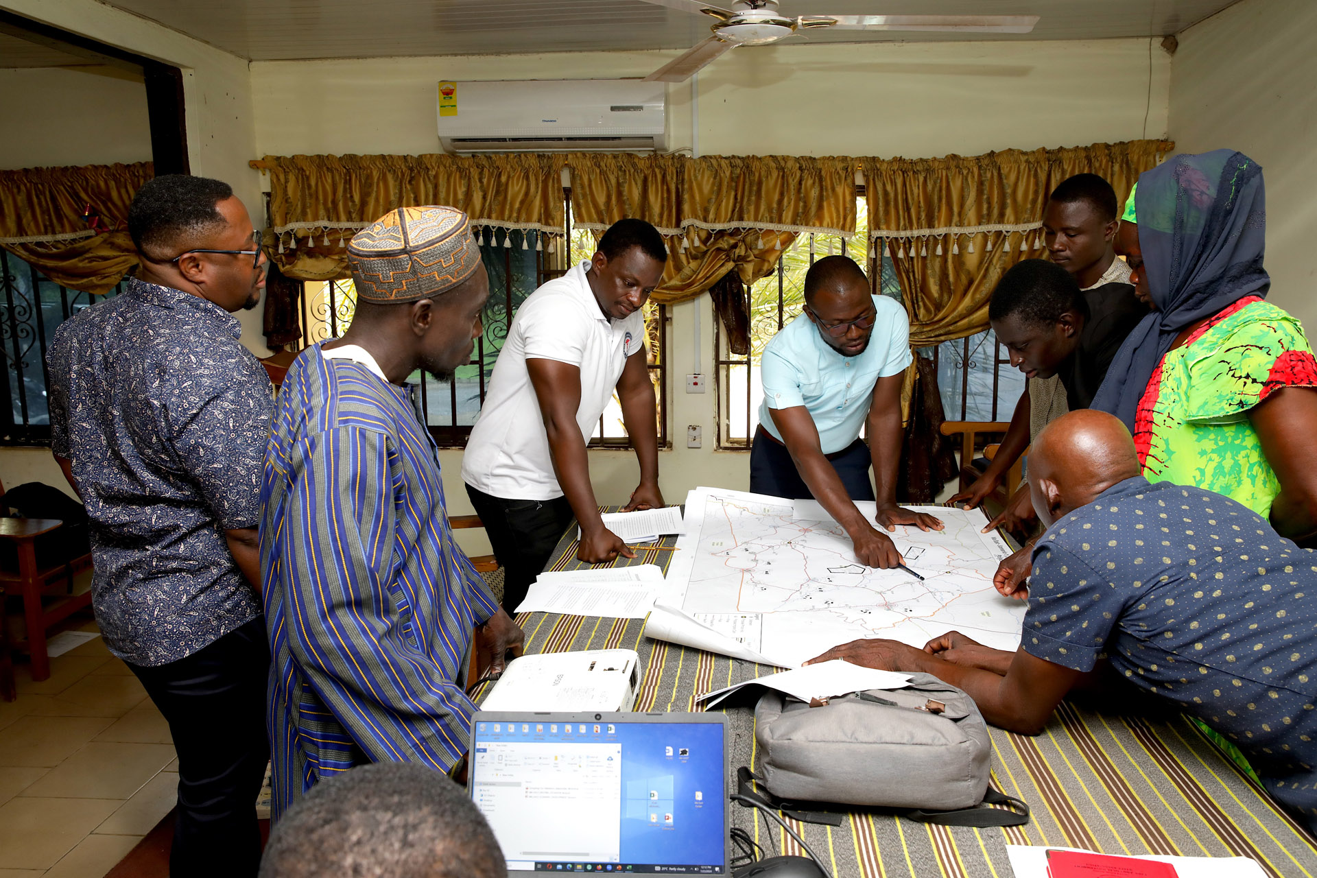
Spatial planning is a critical component of Land Restoration and Sustainable Land and Water Management (SLWM), providing a framework to coordinate the use, management, and protection of land and water resources. While restoration and SLWM interventions address existing land and water issues, spatial planning guides future land-use decisions, manages competing resource demands, and addresses the interconnections between ecosystems.
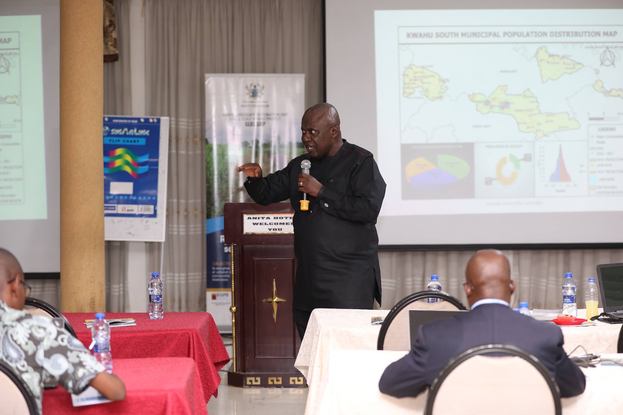
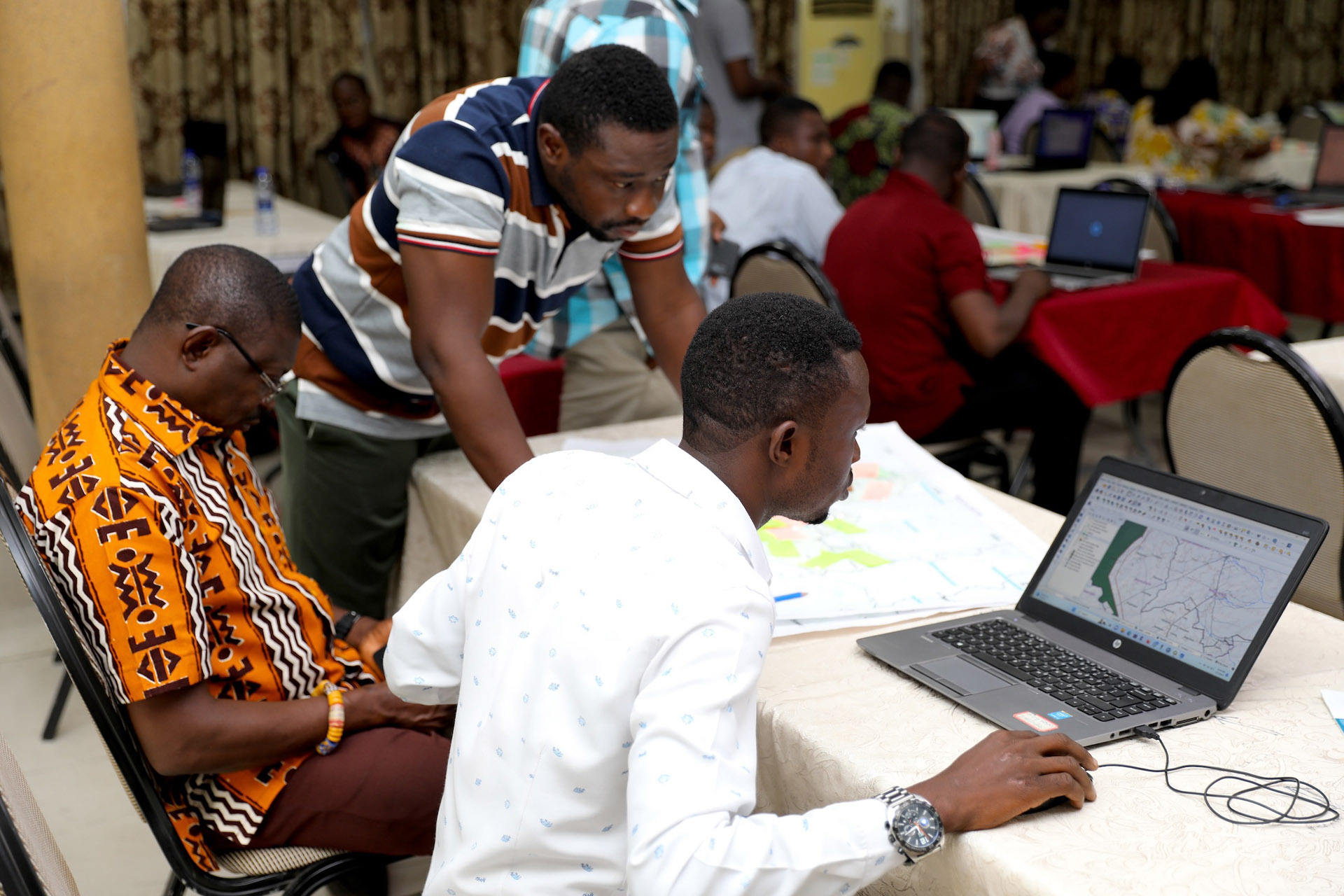
Under the GLRSSMP, the development of Spatial Development Frameworks (SDFs) for 11 districts and Integrated Water Resources Management (IWRM) plans for three basins complements in-situ restoration efforts. These frameworks translate environmental assessments, resource-use priorities, and stakeholder needs into coordinated management actions.
Specifically, SDFs were developed for Builsa South, Kassena Nankana West, Wa East, Sissala East, Sissala West, Sene West, Bosome Freho, Kwahu Afram Plains South, Kwahu South, Kwahu West, and Kwahu East. The IWRM plans were developed for the Black Volta basin as well as the Sissilli and Kulpawn sub-basins.
Together, the SDFs provide a structured approach to identifying suitable land uses, prioritizing areas for restoration, protecting ecologically sensitive locations, and guiding sustainable resource use. Similarly, the IWRM plans promote the coordinated management of surface water, groundwater, catchments, and associated ecosystems, recognizing how land-use practices directly impact water availability, quality, and overall watershed health.