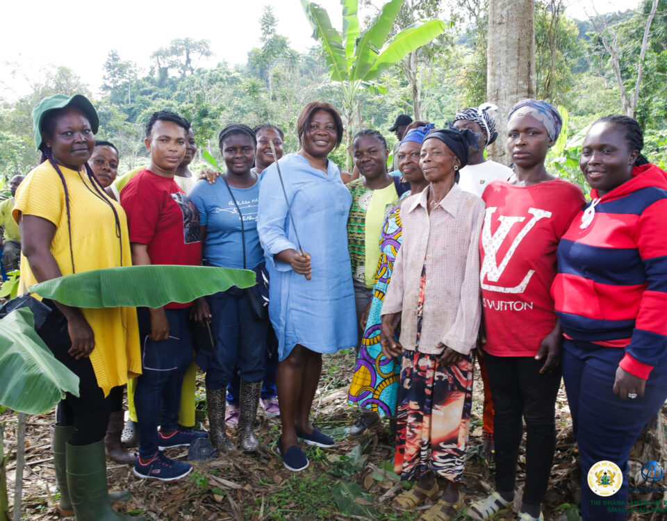
Community Engagement/Capacity Building Training by the Forest Service Division of the Forestry Commission in Some Project Beneficiary Communities
August 1, 2024
GLRSSMP Revives 25,000 Hectares of Agricultural Farmland, Impacts 58,000 Farmers
October 21, 2024EPA, LUSPA tour 11 districts under Ghana’s 20-year Spatial Development Framework

The Environmental Protection Agency (EPA) and the Land Use and Spatial Planning Authority (LUSPA) have visited some districts prioritized for the development of the Spatial Development Framework (SDF), which will serve as a blueprint for long-term land use and management in Ghana.
The visit focused on eleven strategically selected districts within Ghana's Northern Savannah and Cocoa landscapes for the development of the SDF.
The districts in the Cocoa Forest Landscapes include Sene West, Bosome Freho, Kwahu South, Kwahu East, Kwahu West, and Kwahu Afram Plains South district assemblies, located in the Bono East, Ashanti, and Eastern Regions of Ghana. While that of the district in the Northern Savannah Zone include Wa East, Sissala West, Sissala East Municipal, Kassena Nankana West, and Builsa South assemblies in the Upper West and Upper East Regions.
The visit, which took place from August 25 to September 6, 2024, forms part of an effort to create comprehensive, forward-looking spatial plans that will shape the future development of these districts in Ghana.
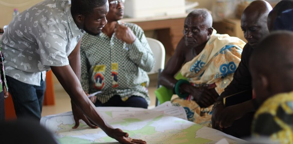
It aimed to engage with key stakeholders and provide updates on the progress of 20-year Spatial Development Framework (SDF) tailored for each district.
Stakeholders included district health officials, planners, engineers, educators, traditional leaders, and religious groups.
The SDF is designed to ensure holistic development by addressing physical, socioeconomic, environmental, and cultural factors. These frameworks guide sustainable growth, resource allocation, and urban and rural development strategies across districts.
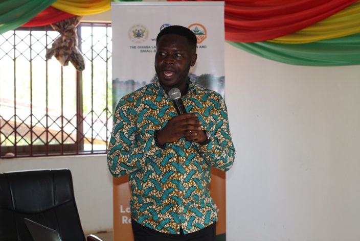
Dr. Benedict Arkhurst, Head of Plan Preparation Unit at LUSPA, highlighted the inclusive nature of the SDF process, emphasizing the active involvement of frontline officers from Regional Coordinating Councils (RCCs) and District Assemblies.

Dr. Benedict Arkhurst, Head of Plan Preparation Unit (LUSPA) addressing Stakeholders
He said the planning process progresses through distinct stages, including project inception, situational analysis, modeling options, and implementation strategy, with the current focus on modeling options for each district.
Dr. Arkhurst explained that the integration of the 20-year SDF is expected to drive sustainable economic expansion, promote social equity, and enhance environmental stewardship within the selected districts.
"By facilitating informed decision-making and fostering collaboration among stakeholders, the SDF aims to bolster resilience and strengthen community bonds, ultimately improving development outcomes and quality of life," he said.
The landscape management planning and monitoring form part of Component 1.1 under the Ghana Landscape Restoration and Small-Scale Mining Project, which prioritizes integrated landscape management planning and monitoring.
This component seeks to enhance planning and policy frameworks through spatial planning and implementation at the sub-basin level, supported by policy advocacy, capacity building, and collaboration with regional and district agencies.
This participatory engagement was designed to ensure that local stakeholders are empowered to contribute effectively to the formulation of these crucial plans, thereby promoting sustainable development and resilience in the region.
It is expected that all relevant inputs from stakeholder hearings will be incorporated into the draft final report for adoption and dissemination.

