Ghana Landscape Restoration and Small Scale-Mining Project: Farmers Advised to Adopt to Sustainable Practices
November 24, 2023
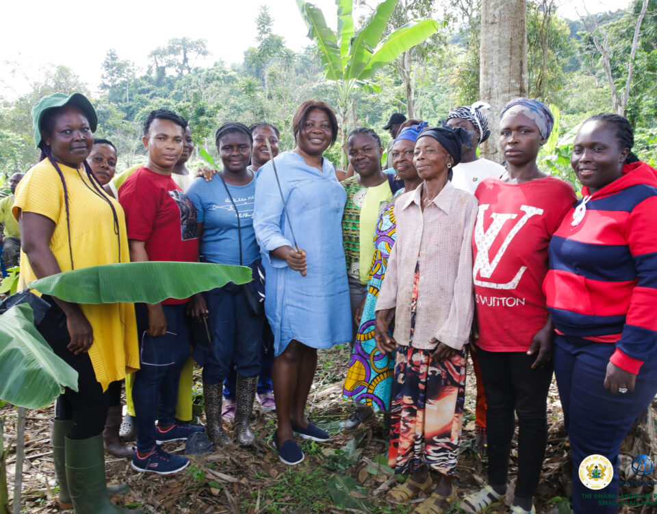
Community Engagement/Capacity Building Training by the Forest Service Division of the Forestry Commission in Some Project Beneficiary Communities
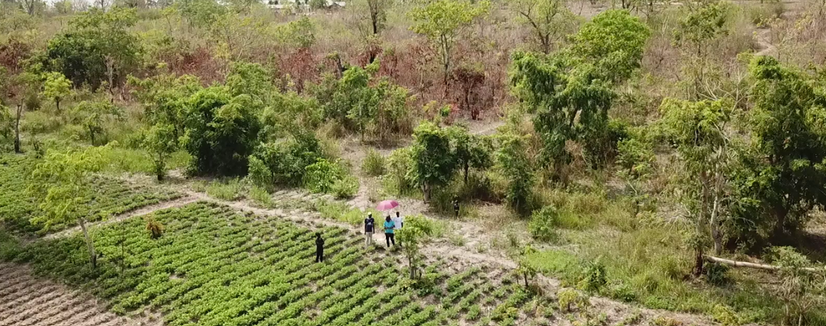
August 1, 2024Riparian Restoration Unveiled: A Drone’s-Eye View

The GIS unit of the Environmental Protection Agency (EPA), conducted a drone verification exercise to map the terrain earmarked for riparian restoration. This effort aimed to establish a baseline for the areas selected for revegetation. Before the drones took flight, staff of the EPA diligently engaged stakeholders, holding informative sessions within the community where the restoration intervention was set to take place.
Anticipating the transformation of a significant landscape, approximately 759 hectares were slated for re-vegetation in 2023. Land preparation and pegging, supply of seedlings, and planting have long been carried out at verified sites.
formalization of artisanal and small-scale mining and increase benefits to communities in the targeted degraded savannah and cocoa forest areas.”
The total area planted or established during the season will later be revealed, providing an important element of the narrative and highlighting the dramatic transformation brought about by these project interventions.
Please stay tuned for the unveiling of the green tapestry, which will surely show us the success of our collaborative efforts in riparian restoration.


